My work centres on modular geospatial engineering. Since 2013 at LNEG, Portugal's Geological Survey, my role has shifted from operating GIS software to developing my own tools and orchestrating the complex processing chains that turn raw geospatial data into reproducible scientific outputs.
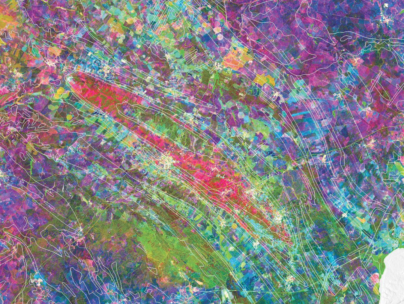
Outputs range from processing toolboxes to standalone applications with their own UIs, with batch pipelines and external integrations in between. Peer-reviewed scientific methodologies are translated into Python implementations and integrated into reproducible, fully automated workflows. Projects span flood hazard mapping, mineral prospectivity at national and continental scale, LiDAR surveys of abandoned mine sites, and country-wide satellite mosaics for hydrogeological mapping in Africa and the Iberian Peninsula.
PhD candidate in Geographic Engineering at the Faculty of Sciences, University of Porto, funded by an FCT research scholarship. Research applies Graph Neural Networks to Critical Raw Materials prospectivity mapping in the South Portuguese Zone and Ossa-Morena Zone, integrating Sentinel-2, hyperspectral data, and geological knowledge.
Trainer for African geological surveys under the EuroGeoSurveys / PanAfGeo programme. Sessions delivered in São Tomé and Príncipe, Cabo Verde, and Mozambique, covering GIS, SAR/InSAR, UAV operations, and hyperspectral data processing. Former board member of APPSIG, the Portuguese Association for Geographic Information Systems (2016–2024).
Open to collaborations in critical raw materials, geospatial AI, remote sensing, UAV/LiDAR surveys, and training partnerships.
[02] Selected Work
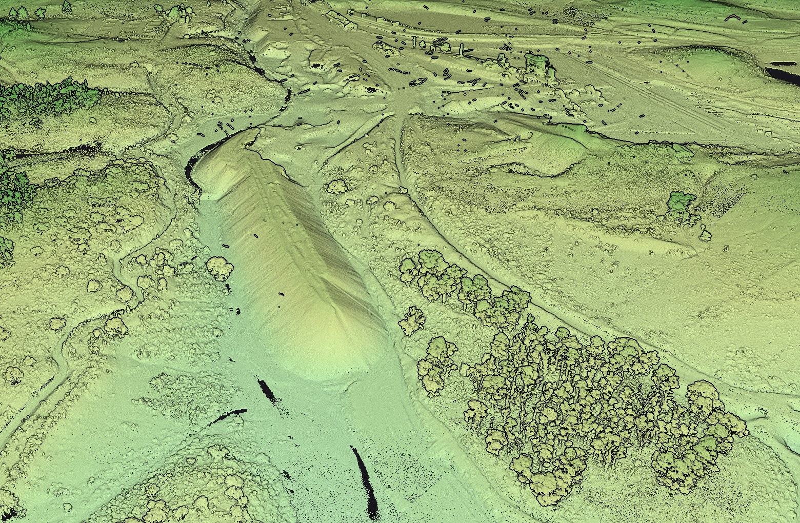
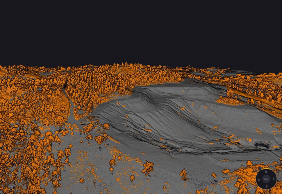
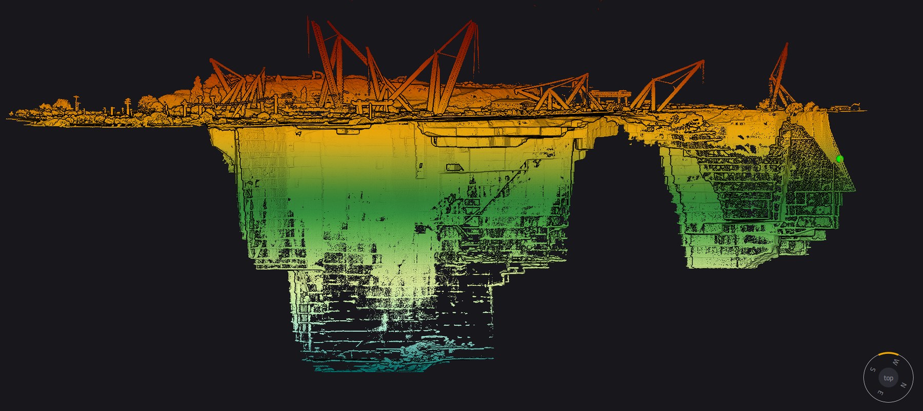
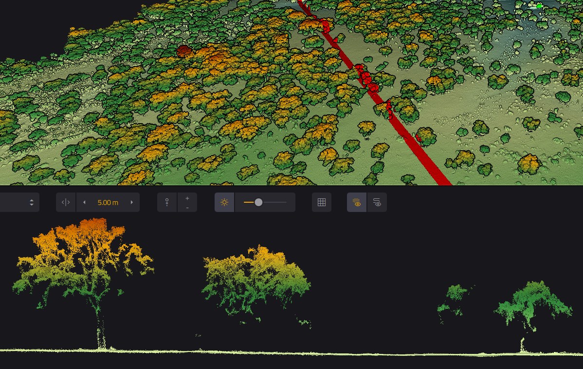
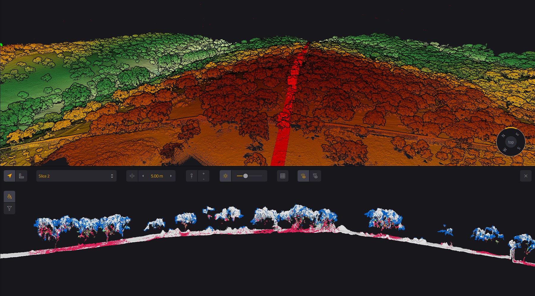
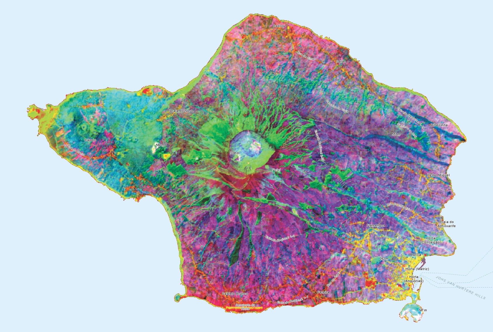
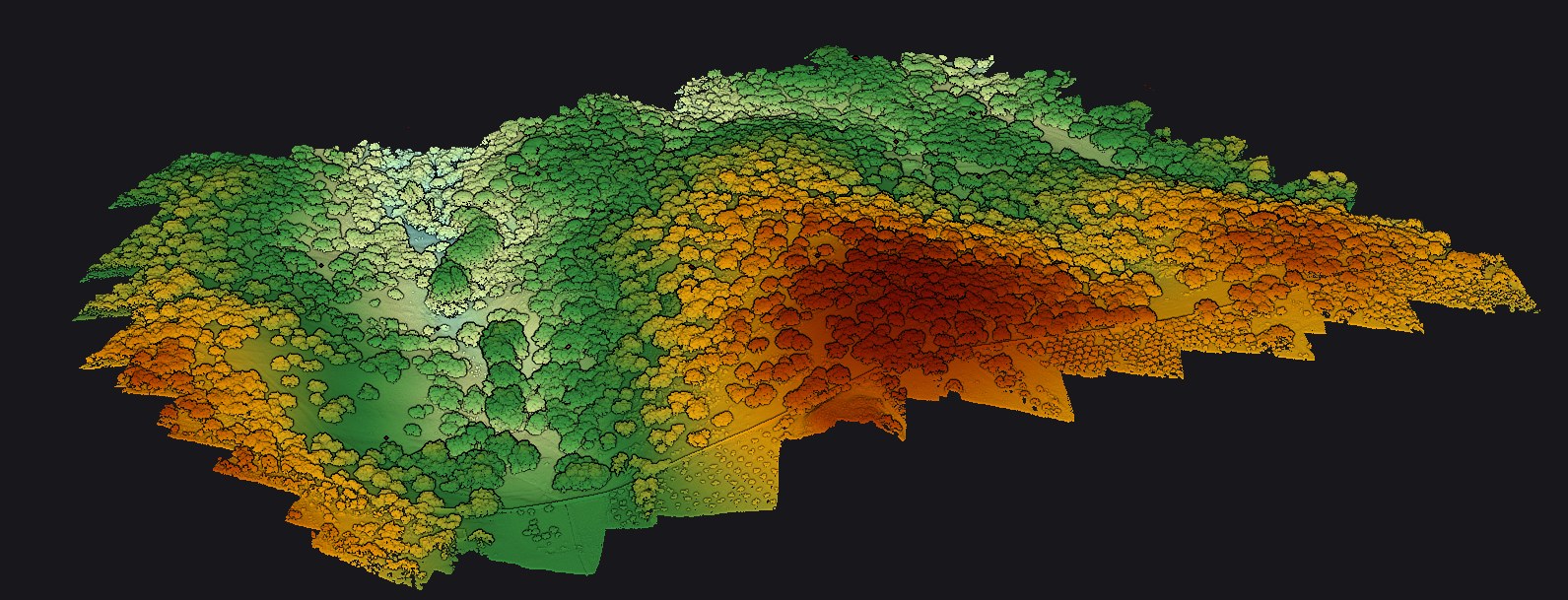
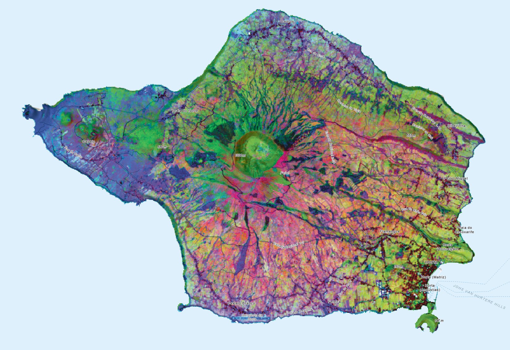
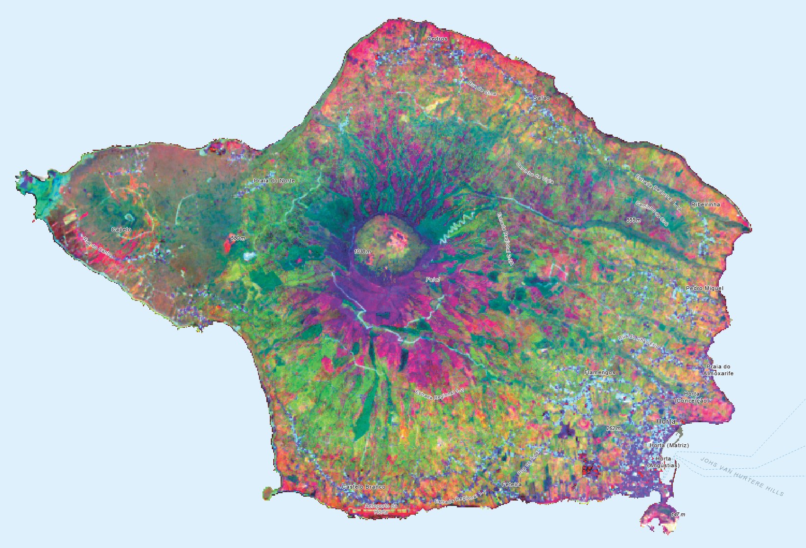
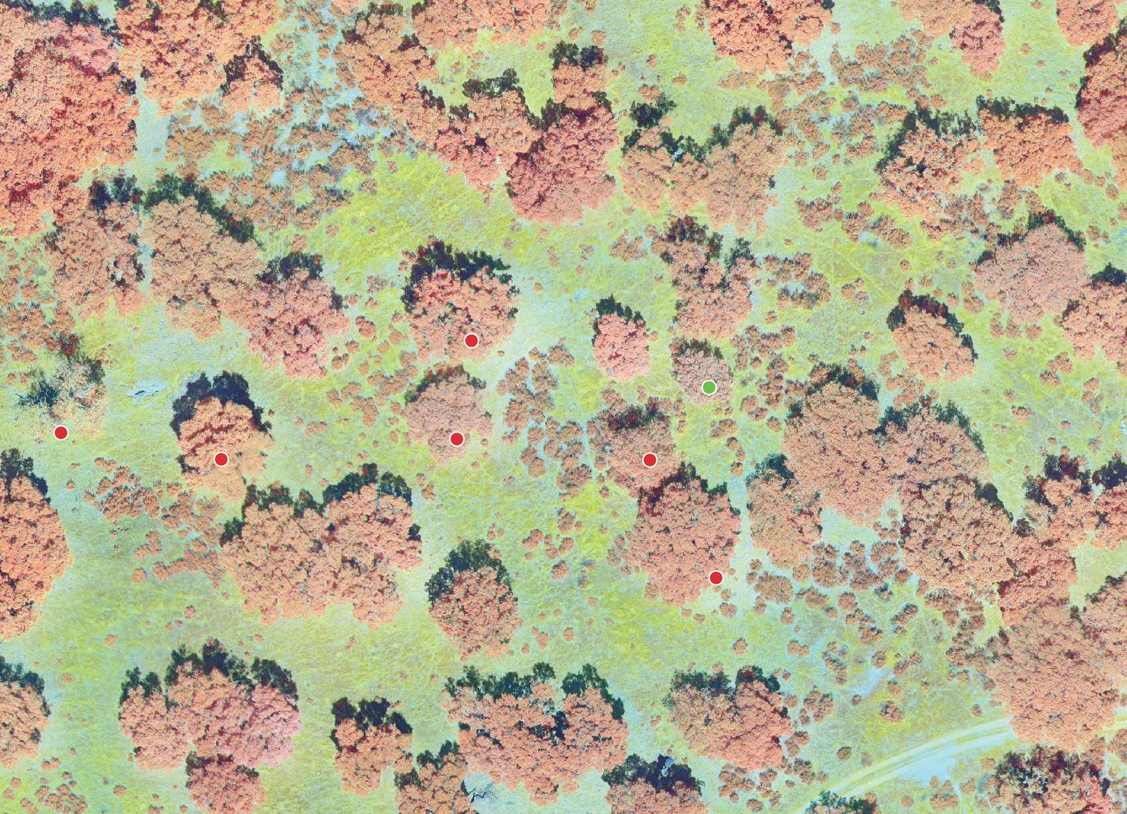
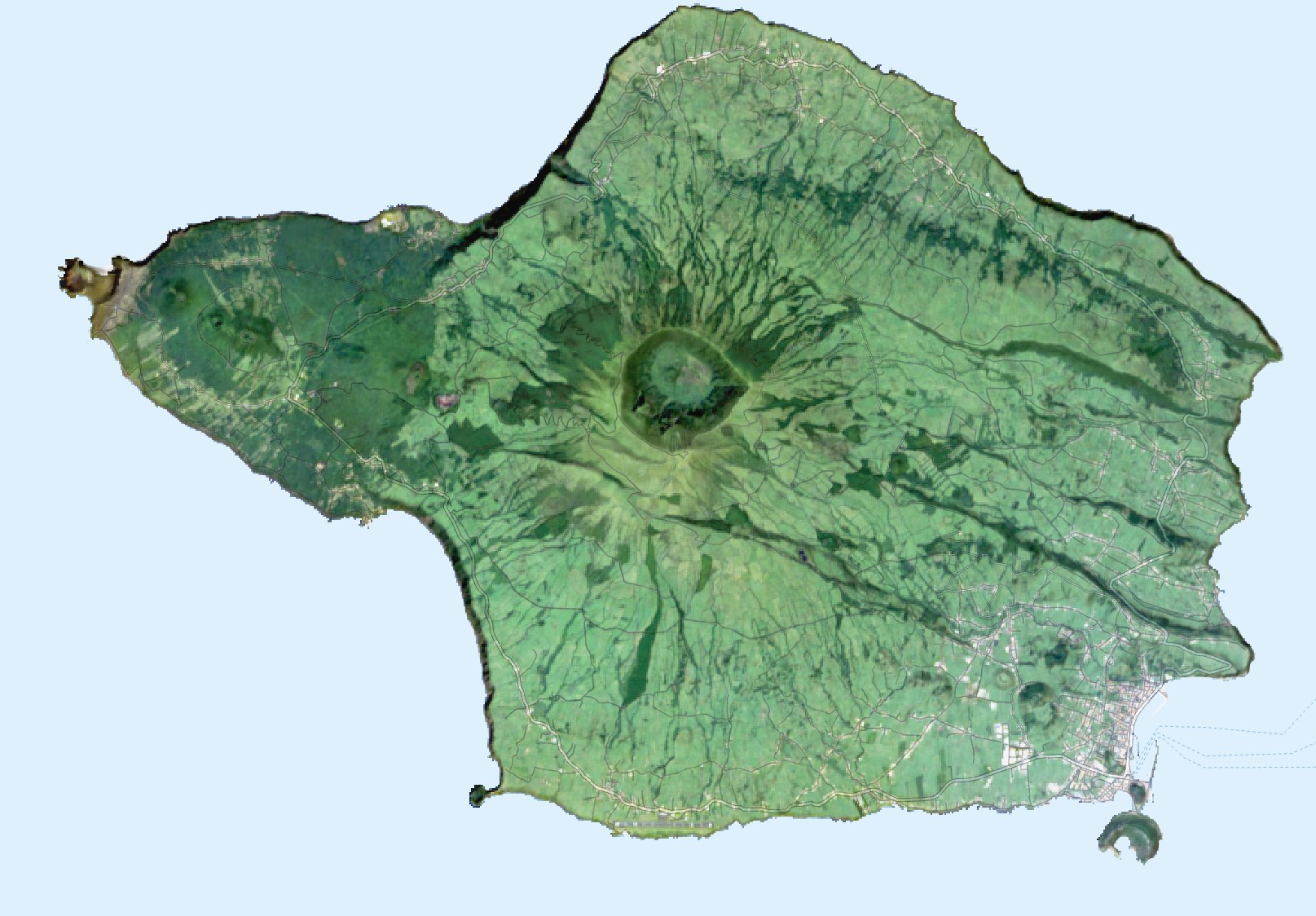
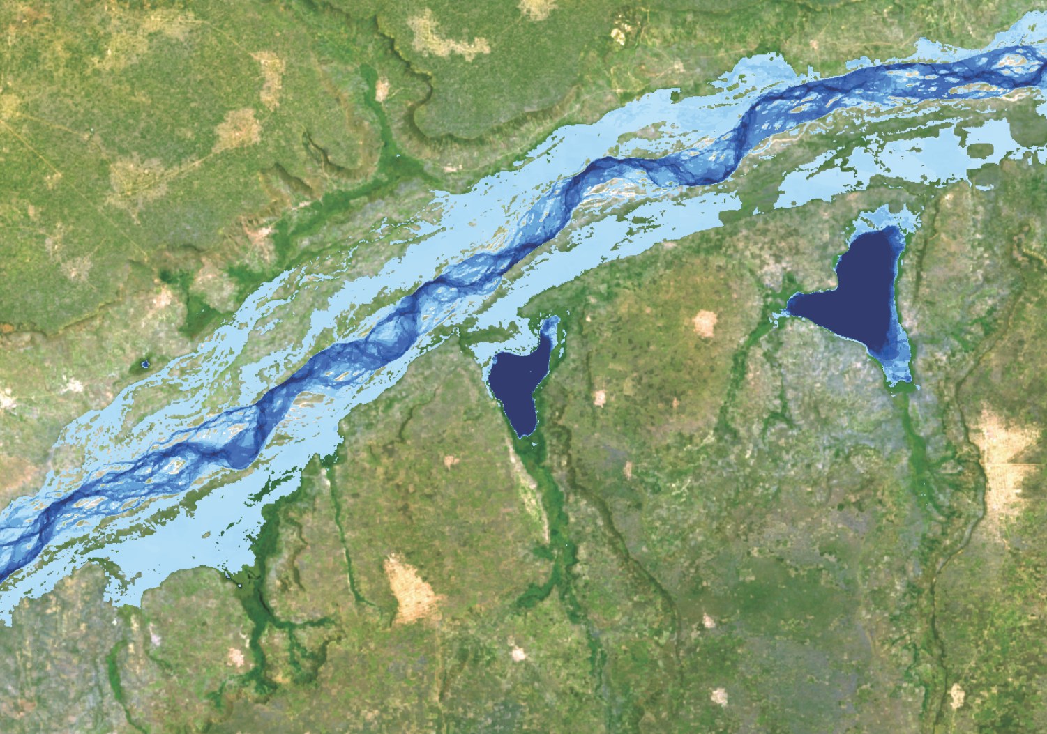
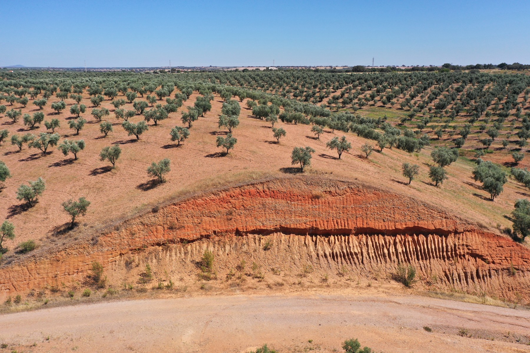
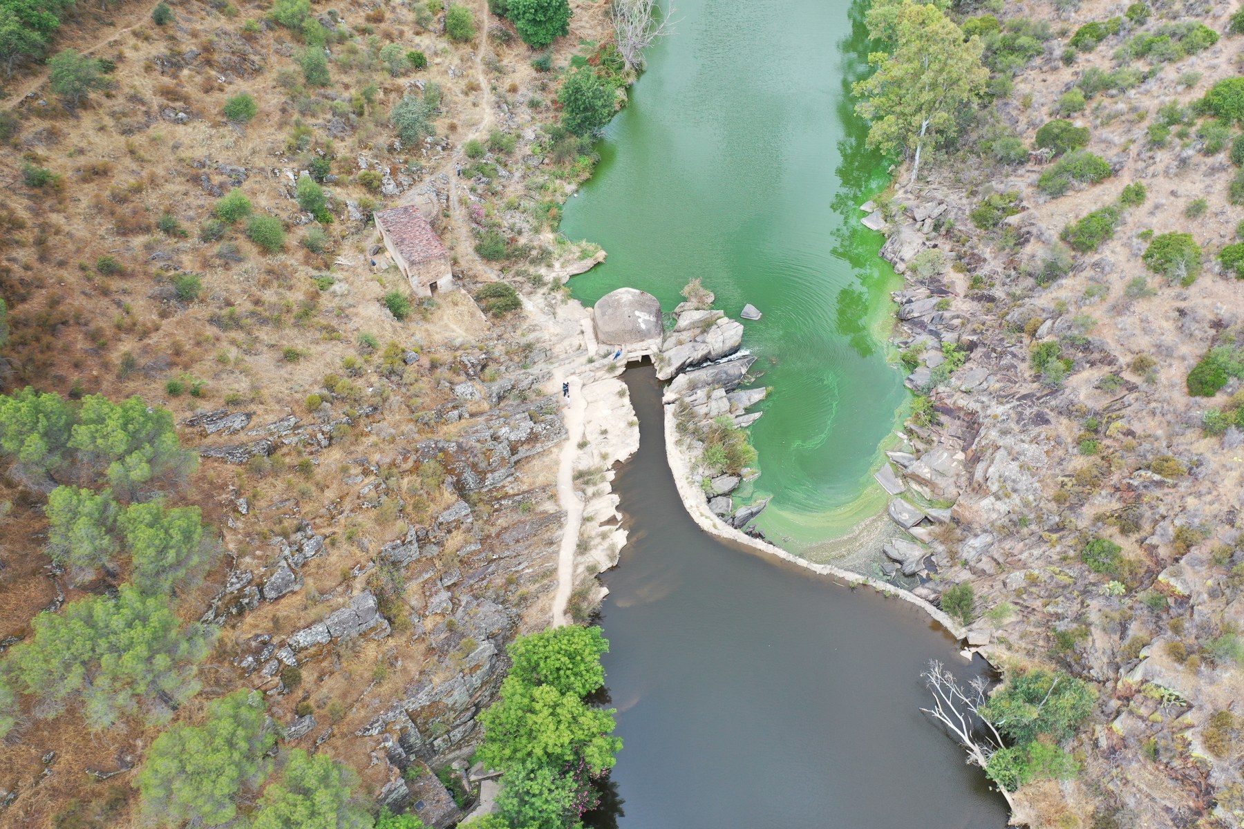
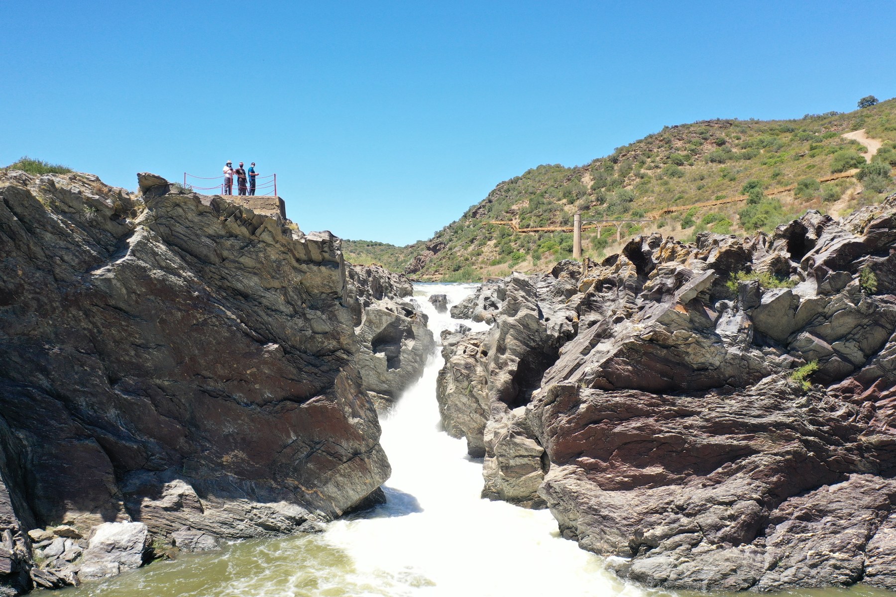
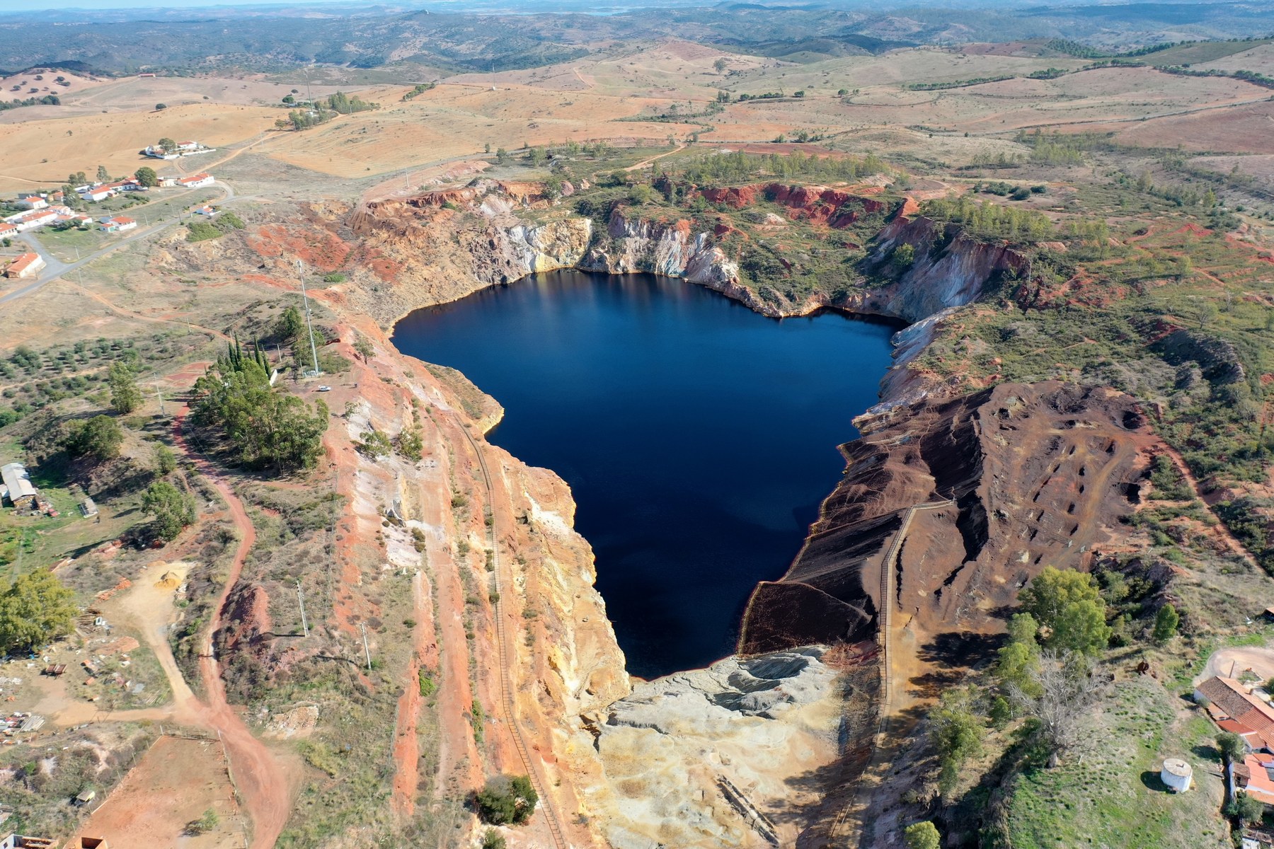
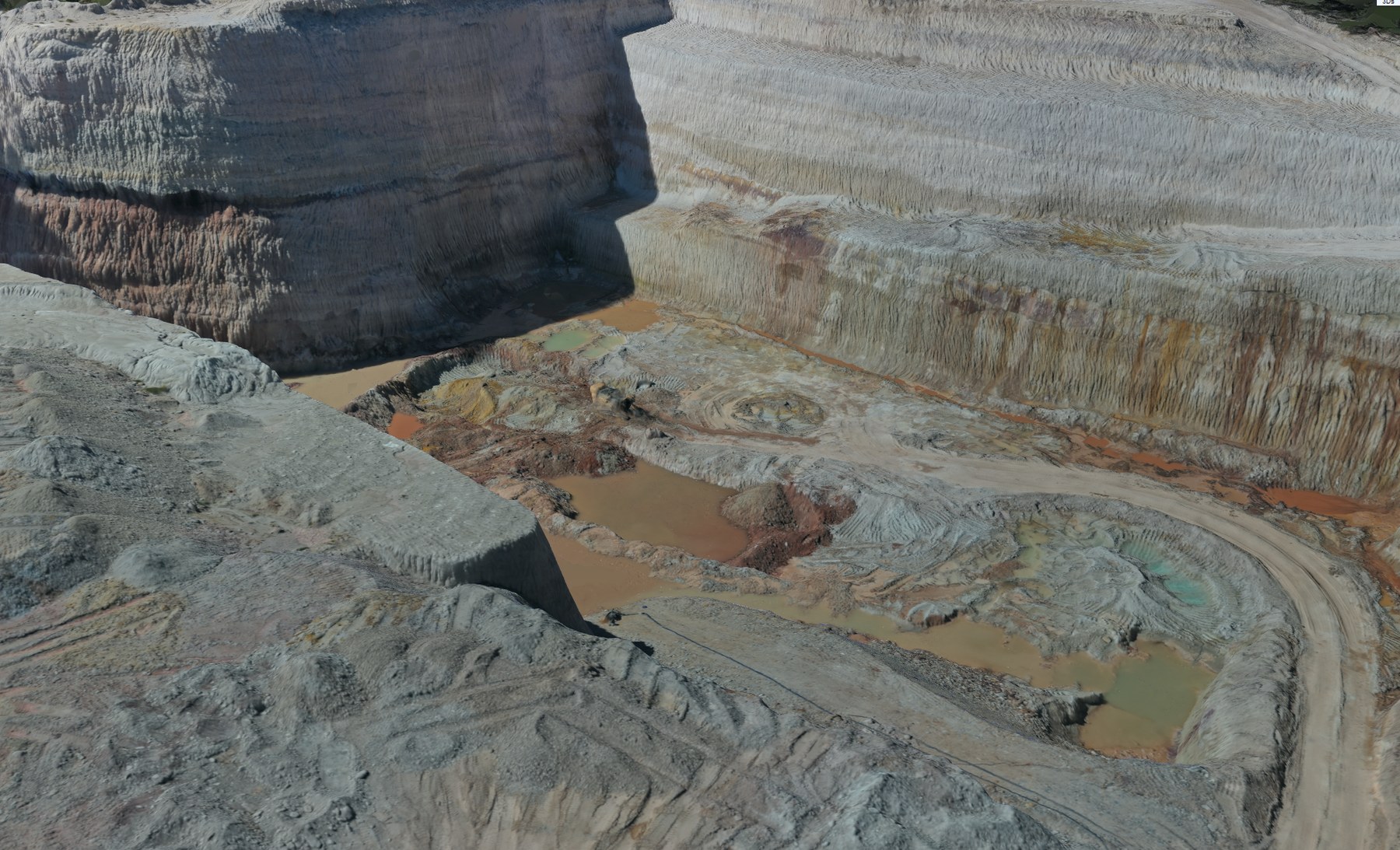
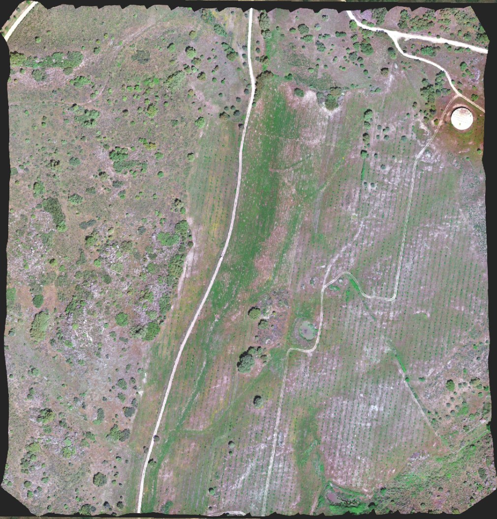
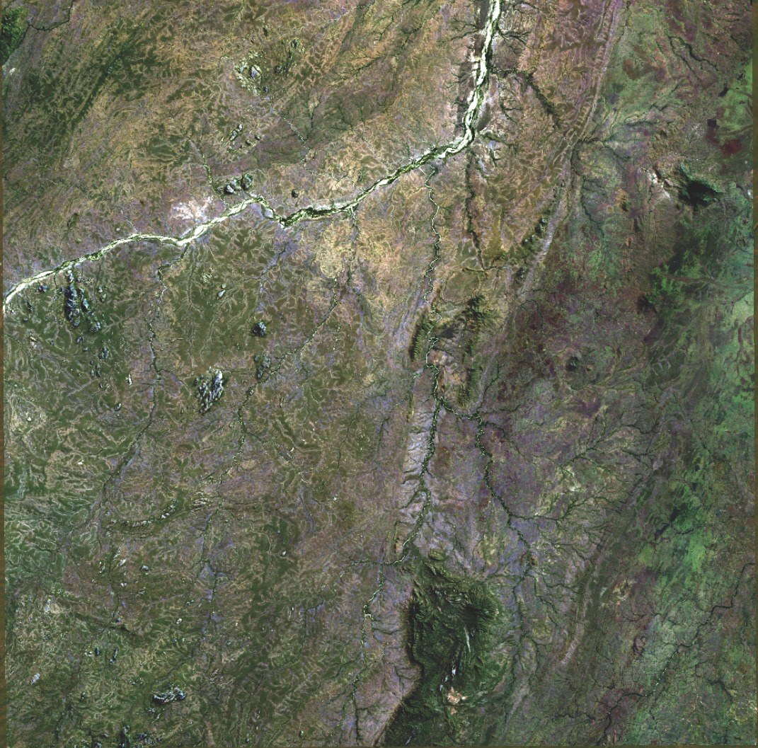
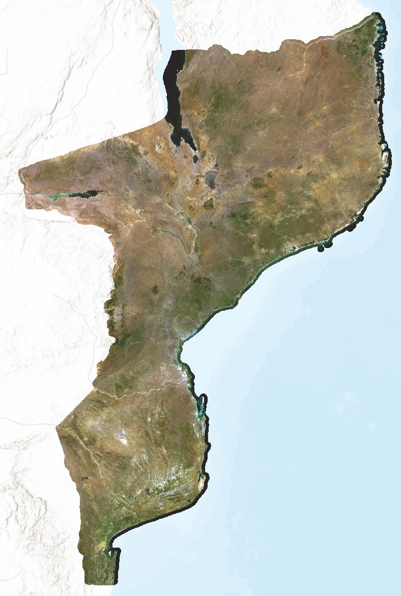
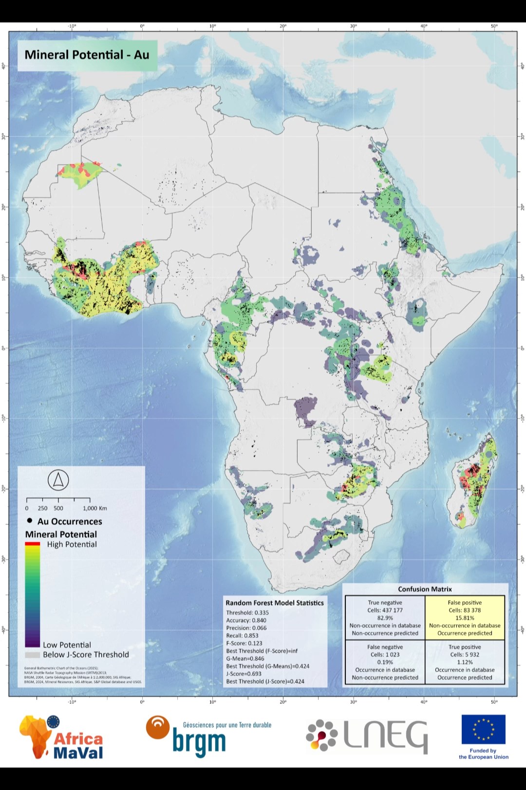
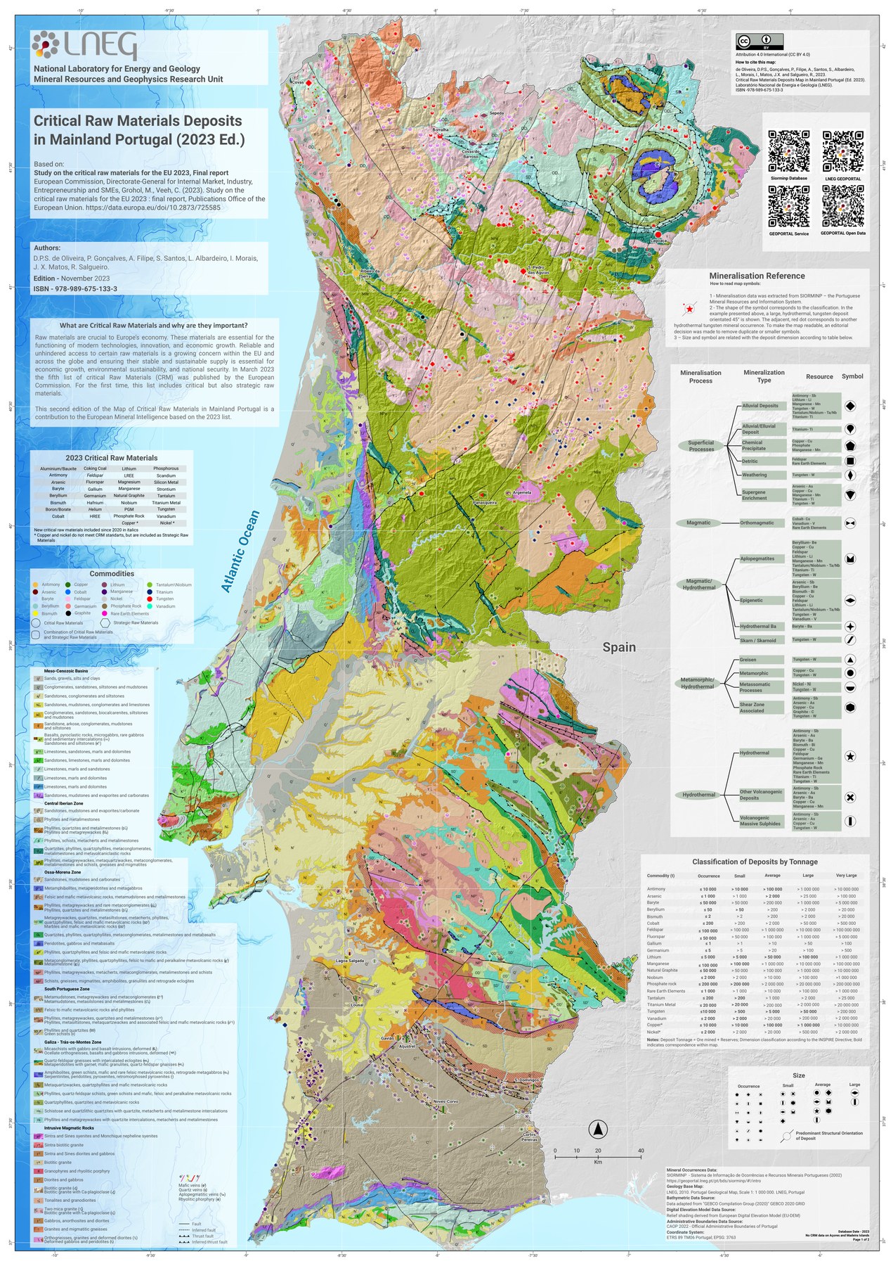
A visual cross-section of recent work: mineral prospectivity maps, UAV / LiDAR surveys, country-wide satellite mosaics, multispectral and hyperspectral outputs, and field campaigns. Click any image to enlarge.
[03] Current Position
ACTIVE
Senior Technician
2019 — PRESENT
National Laboratory of Energy and Geology (LNEG) Mineral Resources & Geophysics, Portugal
Research Fellow since 2013, Senior Technician since August 2019. Technical lead across national and international research projects: multi-scale sensor approach from satellite to drone for mineral exploration and geological characterisation. Contributor to the Critical Raw Materials Deposits Map of mainland Portugal. Increasingly building custom remote-sensing tools in Python.
Remote Sensing · advanced processing of satellite imagery, UAV data, and LiDAR for geological and environmental applications
GIS Development · spatial databases, geoprocessing routines, analytical workflows
UAV Operations · multispectral and LiDAR missions for mineral exploration and land monitoring
Cartography · thematic, geological, and flood-hazard maps at multiple scales
Scientific Communication · author and presenter at international conferences
Research Projects · technical contributor in EU and bilateral research projects on natural resources and climate
[04] Previous Experience
Research Fellow
2016 — 2019
LNEG — Portuguese Geological Survey Mineral Resources & Geophysics
Ossa-Morena Zone spatial data acquisition, processing and dissemination. Construction of geodatabases and creation of mineral prospectivity mapping for the Moura-Ficalho Region using Analytical Hierarchy Process (AHP) methodology.
Board Member
2016 — 2024
APPSIG — Portuguese Association for Geographic Information Systems
Board member contributing to the advancement of GIS technologies and methodologies in Portugal. Promoting best practices and professional development in the geospatial community.
Research Assistant
2013 — 2014
LNEG — Portuguese Geological Survey
Research scholarship focusing on spatial data acquisition and centralisation of information. Georeferencing of large volumes of maps at different scales and comprehensive map production for geological and mineral resource projects.
Teaching Assistant
2011 — 2013
University of Porto, Faculty of Arts
Monitor for the Master's programme in Geographic Information Systems and Territorial Planning. Assisted students with GIS analysis, spatial modeling, and research methodologies.
GIS Technician
2010 — 2011
University of Porto, Faculty of Arts
Technical support for GIS laboratories and research projects. Provided expertise in spatial analysis, data management, and cartographic production.
[05] Skills & Technology
Cartographic Design
12+ Years
Professional cartographic design and map production utilising industry-standard software for publication-ready maps and visual communications. Expert in cartographic principles, colour theory, and typography for effective spatial data visualisation.
CorelDRAW
Intermediate
Inkscape
Intermediate
QGIS
Expert
ArcGIS Pro
Expert
Spatial Data Creation and Analysis
12+ Years
Advanced spatial analysis and geodatabase management with expertise in complex analytical workflows and spatial modeling. Specialised in georeferencing, geodatabase design, topology validation, and spatial data quality assessment. Development of custom geoprocessing tools and model-builder workflows.
ArcGIS Pro
Expert
QGIS
Expert
GRASS GIS
Intermediate
SAGA GIS
Intermediate
ArcGIS Field Maps
Advanced
Satellite Remote Sensing
5+ Years
Multispectral and SAR satellite imagery acquisition, processing and analysis. Atmospheric correction, radiometric calibration, change detection. Spectral analysis for geological mineral mapping, vegetation monitoring, land cover classification. Cloud-based Earth observation with Google Earth Engine.
ENVI
Advanced
SNAP
Expert
CATALYST
Advanced
Google Earth Engine
Intermediate
UAV Operations
4+ Years
Professional UAV pilot with 500+ successful missions. Certified operator with expertise in flight planning, ground control point establishment, and optical/multispectral/LiDAR data acquisition. Structure-from-Motion photogrammetric processing and dense point cloud generation.
Agisoft Metashape
Expert
Pix4D Fields
Expert
Pix4D Mapper
Expert
Pix4D Survey
Advanced
DJI Terra
Advanced
CloudCompare
Intermediate
Correlator3D
Intermediate
Agrowing
Advanced
WebODM
Expert
Field Data Acquisition
8+ Years
Form-based survey creation via Survey123, KoBo Toolbox, ODK and Mergin Maps. Mobile data collection workflows, centimetre-level GPS surveying, and offline-capable data collection deployments with quality control protocols.
Survey123
Expert
KoBo Toolbox
Advanced
ODK Collect
Advanced
Mergin Maps
Advanced
ArcGIS Field Maps
Expert
SQL and Databases
6+ Years
Spatial database design and optimisation with PostgreSQL/PostGIS. Complex spatial queries, indexing strategies, performance optimisation. Spatial data integration from heterogeneous sources and ETL pipeline development.
PostGIS
Advanced
PostgreSQL
Advanced
Apache Iceberg
Basic
Apache Spark
Basic
Programming and Automation
2+ Years
Automated geospatial workflows in Python (ArcPy, GDAL, GeoPandas, rasterio) and R. Custom GIS tools and web services. Version control (Git), containerised environments (Docker), and reproducible research workflows.
Python
Advanced
R
Intermediate
Jupyter
Advanced
VS Code
Advanced
Git/GitHub
Intermediate
Docker
Intermediate
Anaconda
Advanced
Apache Airflow
Basic
Big Data Analytics — Mineral Prospectivity
2+ Years
Mineral prospectivity mapping with machine learning algorithms and big-data frameworks. Integration of geological, geochemical, geophysical, and remote-sensing datasets. AHP, weights-of-evidence, fuzzy logic, ensemble methods, and neural-network approaches (incl. Graph Neural Networks for PhD research).
Apache Spark
Basic
TensorFlow
Intermediate
scikit-learn
Intermediate
[06] Selected Publications
Unlocking the Secondary Critical Raw Material Potential of Historical Mine Sites
Q1Minerals · 2024
Peer-reviewed
de Oliveira, D.P.S.; Gonçalves, P.; Morais, I.; Silva, T.; et al.
Comprehensive study on secondary critical raw materials from historical mining sites in Southern Portugal, focusing on sustainable resource-recovery methodologies.
3D Constrained Gravity Inversion and TEM Analysis for New Target Generation
Q1Natural Resources Research · 2022
Peer-reviewed
Marques, F.; Dias, P.; Carvalho, J.; Gonçalves, P.; et al.
Advanced geophysical analysis for mineral exploration in the Neves-Corvo VMS mine region, Iberian Pyrite Belt, integrating multiple geophysical datasets.
Multispectral and Hyperspectral Remote Sensing in the Portuguese Sector of the Iberian Pyrite Belt
Open AccessComunicações Geológicas · 2020
Quental, L.; Gonçalves, P.; Oliveira, D.; Batista, M.J.; et al.
Comprehensive remote sensing study utilising multispectral and hyperspectral data for geological characterisation and mineral exploration in southern Portugal.
Geologically Enhanced Nature-based Solutions for climate change resiliency of critical water Infrastructure. Developing remote-sensing analysis and custom tools and processing frameworks, creating and integrating GIS data into databases to support nature-based solution implementation and monitoring.
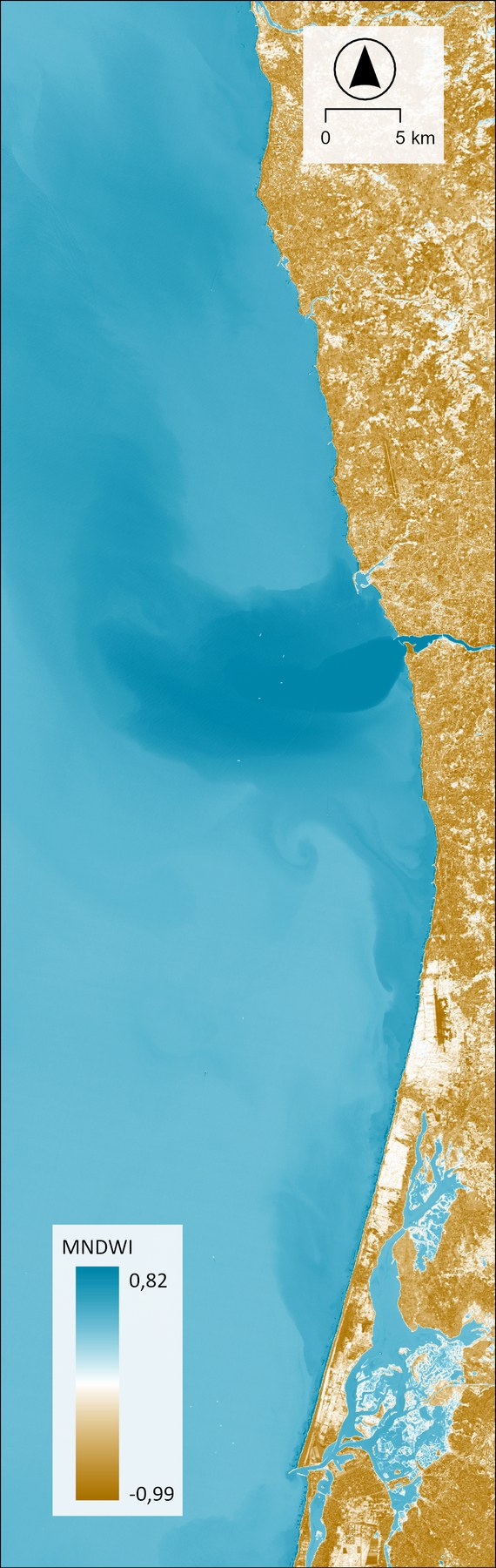
Consulting Services for Updating and Upgrading the Hydrogeological Map of Mozambique. Development of custom remote-sensing tools to create country-wide mosaics using best-pixel strategy. Custom indices to identify water bodies and soil moisture. Delivered tailored training sessions on remote sensing and field data acquisition.
A Sustainable Ecosystem for the Innovative Resource Recovery and Complex Ore Extraction. LiDAR survey of São Domingos mine site, focusing on tailings monitoring and volume calculation of historical mine dumps to support sustainable resource-recovery operations.
Soils monitoring to mitigate the effect of climate change. Multispectral and LiDAR surveys. Custom toolbox to process Landsat 8/9 Collection 2 Level 2, Sentinel-1 and Sentinel-2 imagery, calculating vegetation and soil indices and performing multitemporal analysis. Deep-learning algorithms to estimate Soil Organic Carbon from UAV and satellite data.
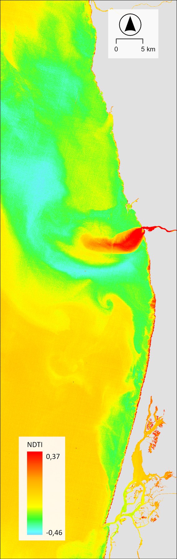
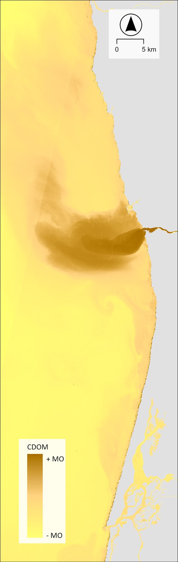
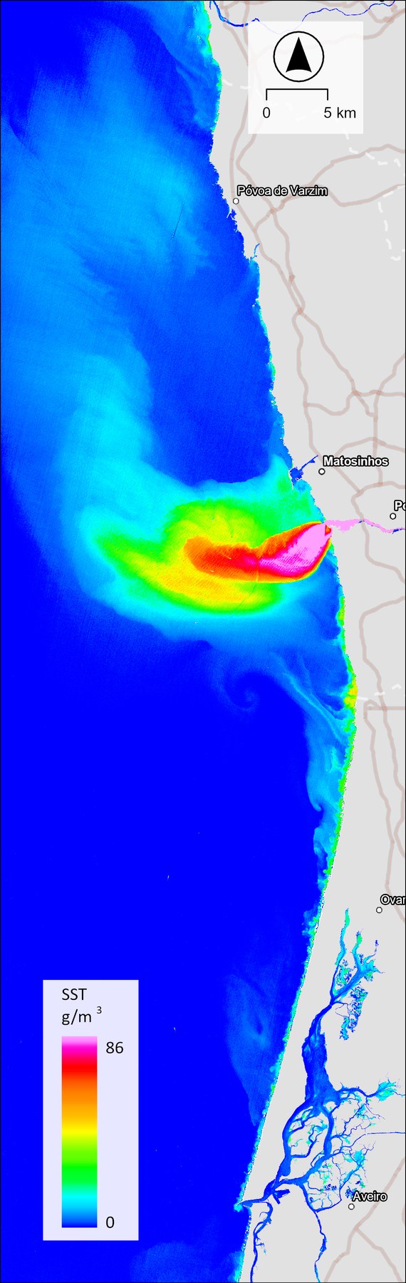
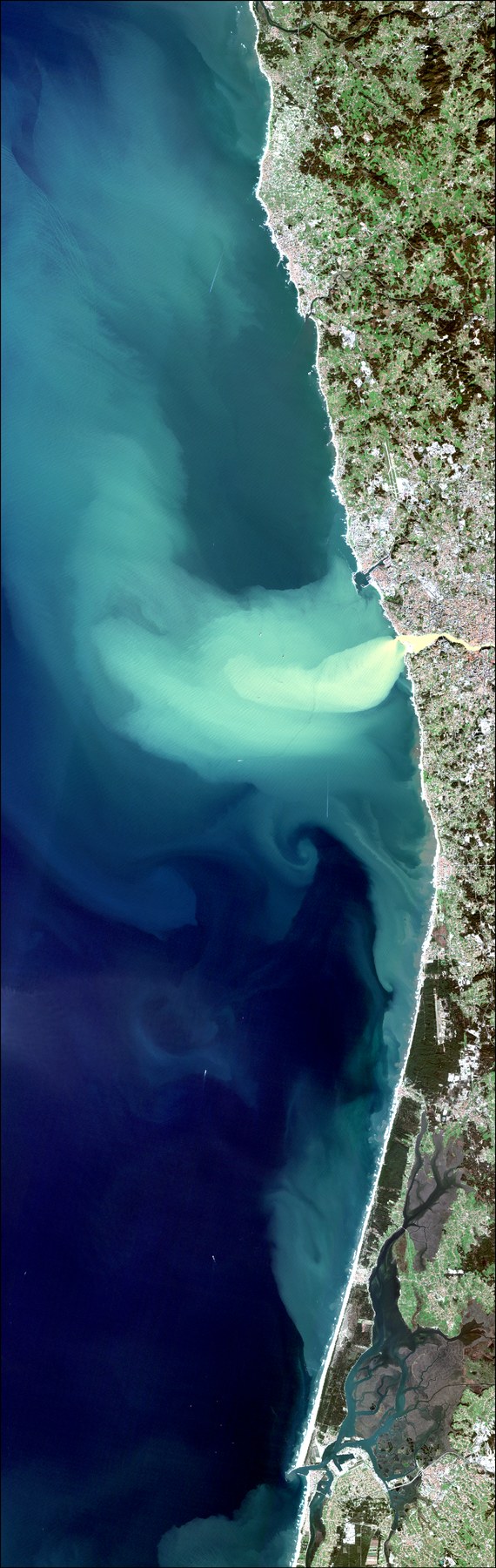
Multiple UAV missions (aerophotogrammetry and LiDAR) on abandoned mines in southern Portugal — calculating volumes of old mine tailings to estimate in-situ mineral tonnage. Sentinel-2 Level-1C processing with the C2RCC algorithm. Custom toolbox for Total Suspended Sediments estimation.
Pan-African Support to Geological Sciences and Technology. Co-lead trainer in WP-6: Geoscientific Information Management. Creating original content covering GIS data acquisition, editing, geologic map creation, topology, georeferencing, remote-sensing data processing, spatial databases, and UAV data acquisition.
EU-Africa business networking on Critical Raw Materials value chains. Mineral prospectivity maps for critical and strategic raw materials in Mozambique and Morocco at 1:1,000,000 and 1:250,000 scales. Contributed to continent-wide mineral prospectivity maps for Africa.
Co-lead trainer in WP-G: Geoscientific Information Management. Delivered 42 training sessions across Africa covering GIS, remote sensing, spatial databases, and UAV operations.
COMPLETED
DOURO — Sedimentation Study
2022 — 2023
River Dynamics & Environmental Impact EDP Contract
Sedimentation study in Douro reservoirs and impact on coastal sediment drift. Processed high-resolution bathymetric data; comparative analysis of multiple survey datasets to quantify accretion and erosion dynamics across several Douro tributaries.
Atlantic geohazard risk assessment and management platform. Remote sensing applications for geohazard monitoring and early-warning systems across the Atlantic region.
COMPLETED
CEGMA 2.0 — Centro de Estudos Geológicos e Mineiros do Alentejo
Strategic development of advanced research facilities for extractive activities in southern Portugal (Neves-Corvo, Aljustrel mines, ornamental rock quarrying). GNSS equipment procurement for high-precision geophysical applications.
COMPLETED
Caracterização de Geossítios do Vale do Guadiana
2020 — 2022
Geological Heritage Characterisation
Comprehensive characterisation and mapping of geological heritage sites in the Guadiana Valley. GIS-based inventory and assessment of geological significance for educational and tourism purposes.
Cross-border observatory for geo-economic valorisation of the Iberian Pyrite Belt. GIS standardisation between PT and ES; maps at 1:400,000 and 1:200,000 for transboundary geological resource assessment.
New geological, geophysical and geochemical knowledge vectors for the northern Neves-Corvo region. Maps at 1:50,000 integrating geological and geophysical datasets for enhanced mineral exploration.
3D metallogenic models for mineral resource valorisation in Alentejo. Sentinel-2, ASTER and Landsat-derived spectral indices for mineral assessment. Very high-resolution geological maps of Moura-Ficalho, Barrancos, and others.
COMPLETED
LNEG 2.0 — Innovation and Competitiveness
2013 — 2014
Institutional Development & Modernisation
Systematic georeferencing of large volumes of scanned maps at different scales for digital archive modernisation. Comprehensive metadata standards for legacy mining and exploration reports.
[08] Education
PhD in Geographic Engineering
2025 — 2028 (est.)
Faculty of Sciences, University of Porto, Portugal FCT Research Scholarship
Provisional thesis title:The applicability of remote sensing and machine learning algorithms for identifying critical and strategic mineral resources.
MSc in Geographic Information Systems and Spatial Planning
2010 — 2012
Faculty of Arts, University of Porto, Portugal Grade 17/20
Thesis:Flood-prone areas assessment in Leça River — hydraulic modelling for two areas of Matosinhos municipality.
BA in Geography
2005 — 2010
Faculty of Arts, University of Porto, Portugal Grade 13/20
Thesis:Flood risk assessment and civil protection.